My Build Site Data
Real Time Construction Progression
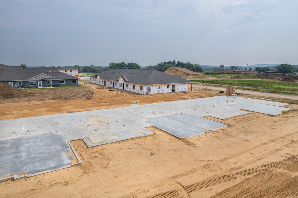
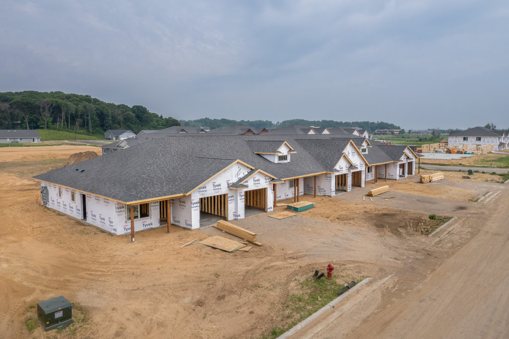
Still Imaging
Lorem ipsum dolor sit amet, consectetur adipiscing elit. Ut elit tellus, luctus nec ullamcorper mattis, pulvinar dapibus leo.
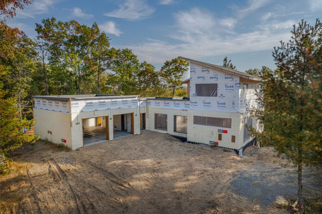
Video Timelapse
Lorem ipsum dolor sit amet, consectetur adipiscing elit. Ut elit tellus, luctus nec ullamcorper mattis, pulvinar dapibus leo.
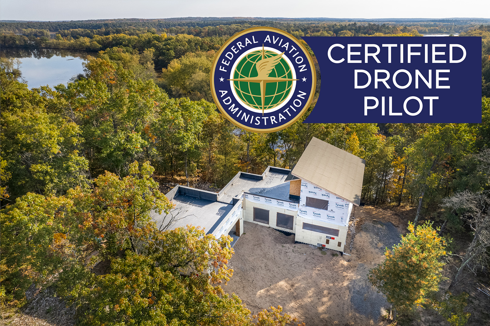
FAA Certified
We are your FAA Part 107 Certified Aerial Solution in Western Wisconsin. Offering a full line of commercial drone piloting services and aerial data collection.

While Focused 2 Sell LLC is capable of aerial data collection, visitors should know that we do not interpret survey grade information. For projects where exact measurements count, you still need to rely on a licensed land surveyor or survey engineer. Focused 2 Sell LLC can provide data in cooperation with your surveyor, but our data gathering does not replace the need for a licensed land surveyor in any state. This is not exclusive to our business, all drone data collection services cannot interpret data unless they have a surveyor on staff. Additionally, we do not overlay property boundaries on home lots (developed or undeveloped) for sale for the same reasons noted above.
